Laminated United States Odyssey Map Poster | Executive Style | Includes The Most Legible Location Labels | 36” x 24” | Shipped Rolled in a Tube, Not
$29.99
| Brand | South of Kings |
| Merchant | Amazon |
| Category | Office Supplies |
| Availability | In Stock Scarce |
| SKU | B08NCQLFVV |
| Color | Multi |
| Age Group | ADULT |
| Condition | NEW |
| Gender | UNISEX |
| Google Product Category | Office Supplies |
| Product Type | Office Products > Office & School Supplies > Education & Crafts > Geography Materials > Maps |
About this item
Laminated United States Odyssey Map Poster | Executive Style | Includes The Most Legible Location Labels | 36” x 24” | Shipped Rolled in a Tube, Not
UP-TO-DATE LAMINATED UNITED STATES MAP – This U.S. map was developed by a team of cartographers and designers to ensure it’s the best looking map available with guaranteed accurate geographic reference. HIGH-QUALITY PRINTING AND LAMINATION – Map is printed with archival-quality inks on 36lb bright-white paper then laminated with a satin-finish 1.7mil lamination on each side. Shipped rolled in a tube. HIGHLY DETAILED – Compared to other 36″ x 24″ maps, this work of art includes high detail at readable font sizes. We include all major cities and every U.S. Territory. There are more minor cities, rivers, lakes, regions, islands, and marine areas labeled compared to other maps. Each state’s highest peak is also labeled! SOOTHING COLORS – Expertly-designed with up to date geographic data and labels in a color palette that’s easy on the eyes. DESIGNED & PRINTED IN THE USA – Designed by a family-run map company. We’ve shipped 100,000+ maps in our 30 years in business Designed and Printed at the Map Shop in Charlotte, NC The Map Shop's goal is simple. We want to inspire adventure, connect customers to past memories, and offer a better understanding of our world. We developed this 36" x 24" U.S. Odyssey Map in-house so we'd have complete control over the cartography and design of the map. The result is a map that is as much fine art as it is a geographic reference. The color palette, font families, and graphic elements elevate the look of this map beyond all others. The United States Odyssey Map features a neutral marine color (oceans, lakes, and rivers) and a subtle color scheme for the countries. Because of the colors chosen, this map's look is universal and can be used in office, home, and school environments. Compared to other 36? x 24? maps, this work of art includes more labels at larger font sizes. We include all major cities and every U.S. Territory. There are more minor cities, rivers, lakes, regions, islands, and marine areas labeled compared to other maps. Each state's highest peak is also labeled! Accuracy is our first priority and our maps are always up-to-date with the recent geographic changes and we're constantly updating the data. This map is laminated and is shipped in a cardboard tube. It is NOT folded so there are NO creases in the map. We have several different style of our world maps available so be sure to check out the other titles as well. We're a family-run small-business and we sincerely appreciate you being our customer! How is my order shipped? Maps are shipped rolled, not folded.
| Brand | South of Kings |
| Merchant | Amazon |
| Category | Office Supplies |
| Availability | In Stock Scarce |
| SKU | B08NCQLFVV |
| Color | Multi |
| Age Group | ADULT |
| Condition | NEW |
| Gender | UNISEX |
| Google Product Category | Office Supplies |
| Product Type | Office Products > Office & School Supplies > Education & Crafts > Geography Materials > Maps |
Similar Products


Compare with similar items
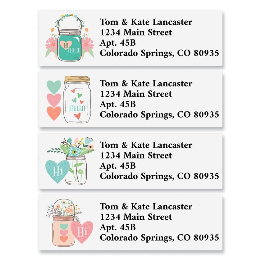
Colorful Images Mason Jar Valentine’s Da... |
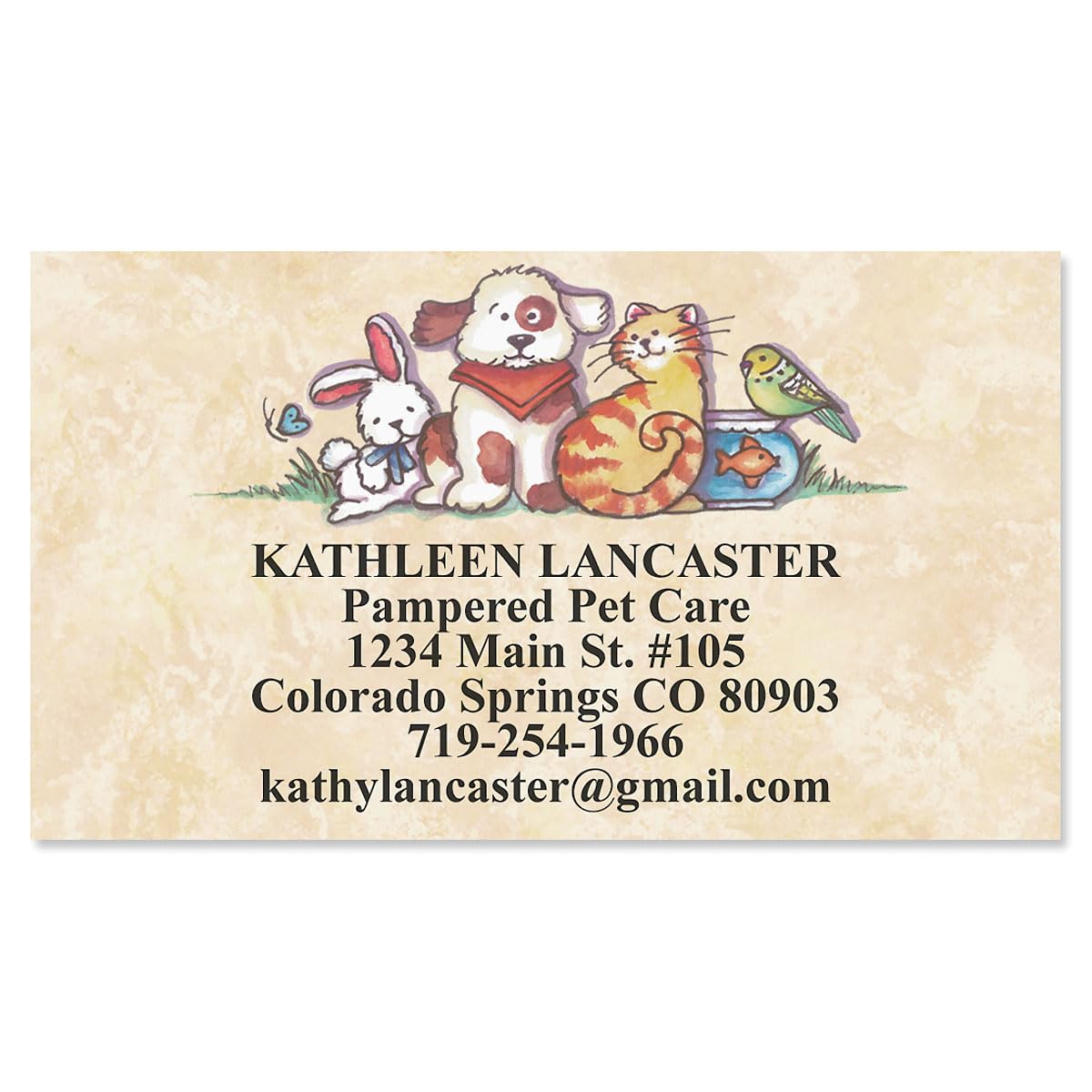
Pets Designer Business Cards - Set of 25... |
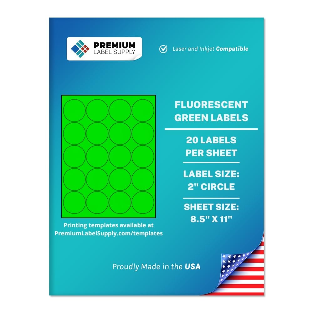
Premium Label Supply Bright Neon Color F... |
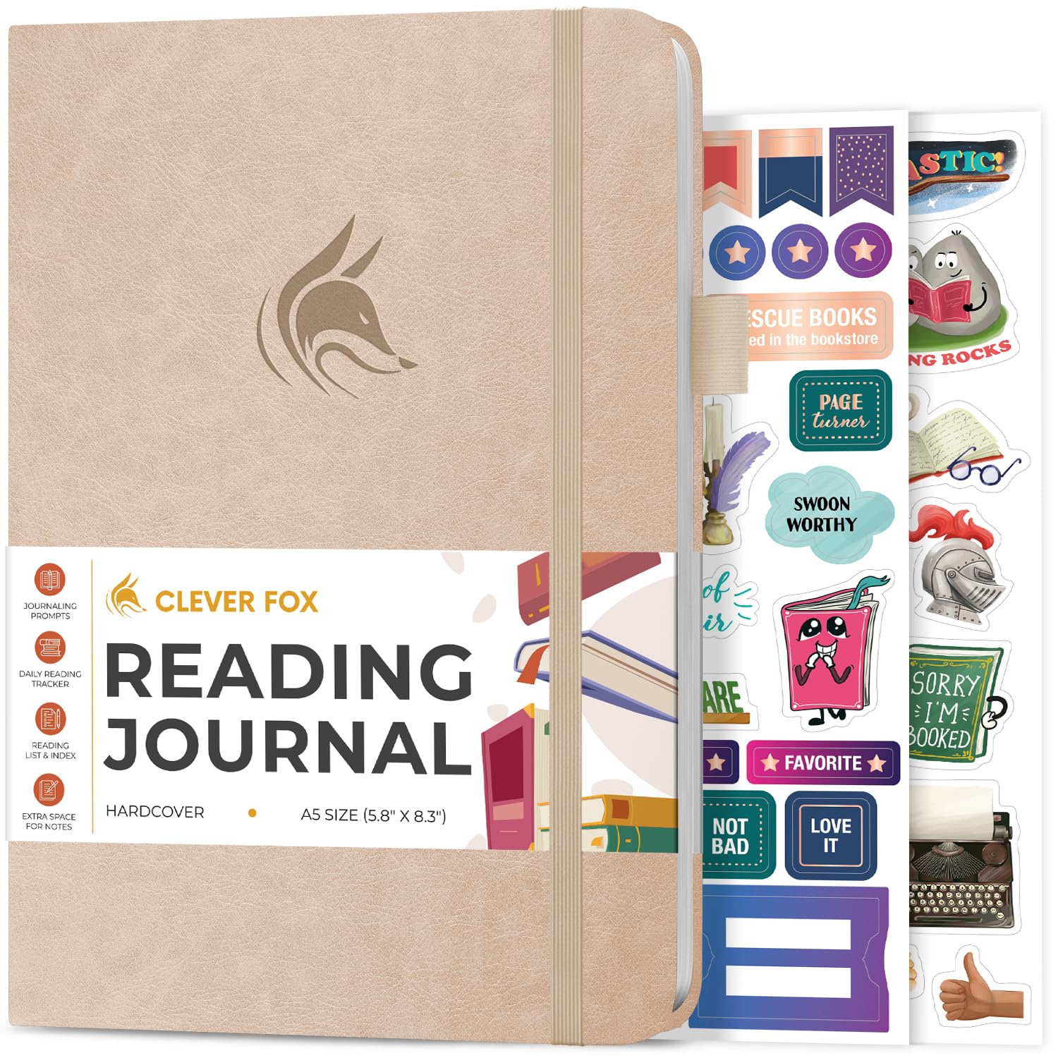
Clever Fox Reading Journal – Book Review... |
|
|---|---|---|---|---|
| Price | $8.99 | $16.99 | $14.99 | $19.99 |
| Brand | Colorful Images | Colorful Images | Premium Label Supply | Clever Fox |
| Merchant | Amazon | Amazon | Amazon | Amazon |
| Availability | In Stock | In Stock | In Stock | In Stock |